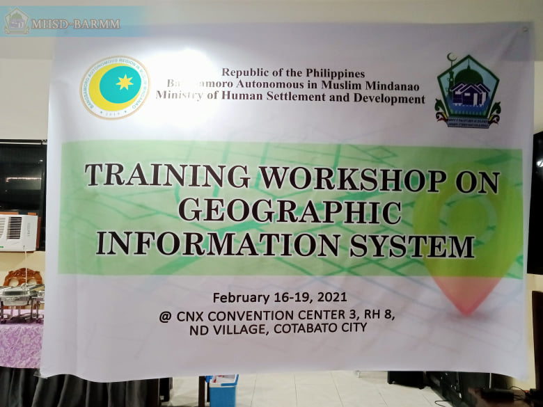
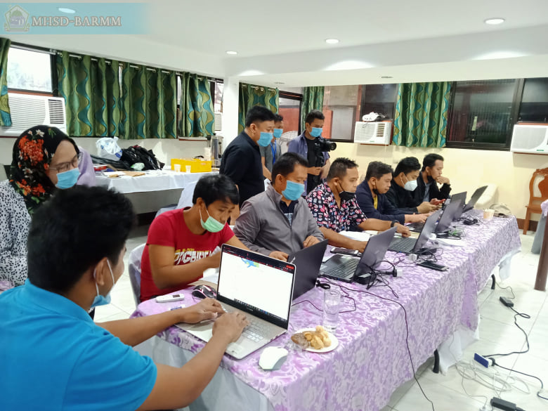
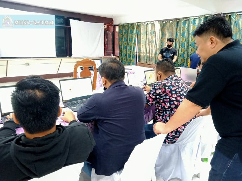
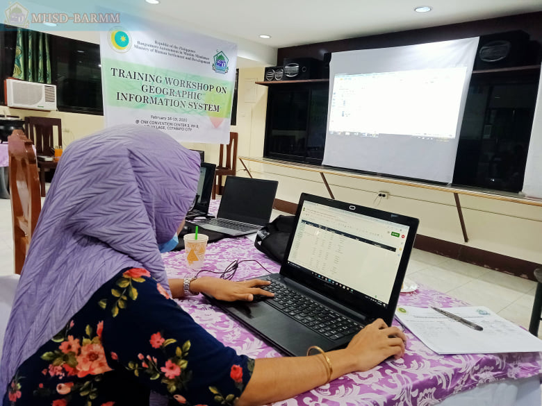
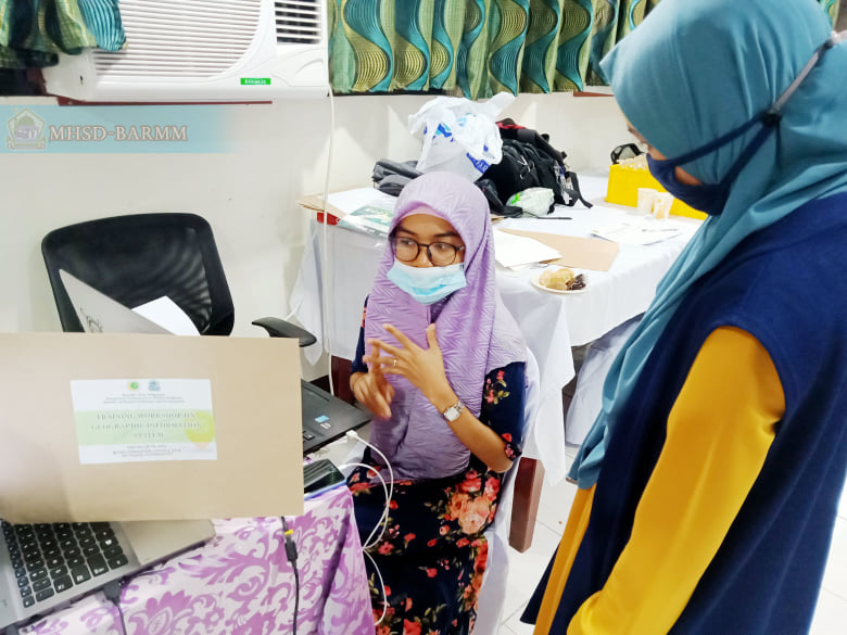
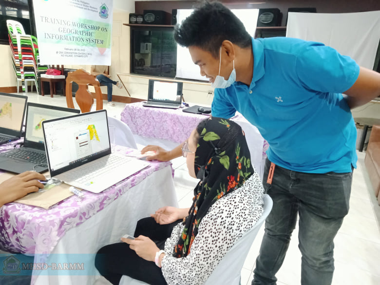
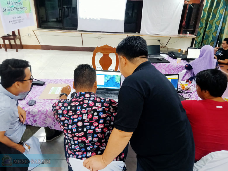
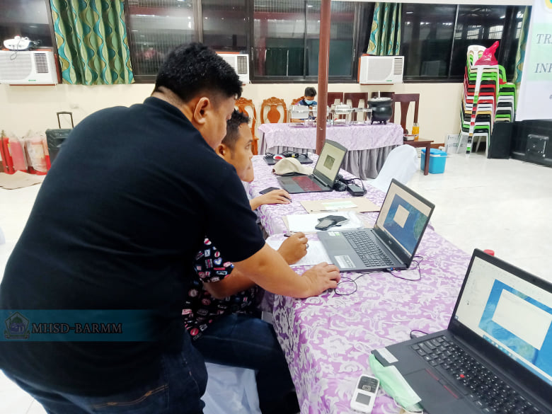
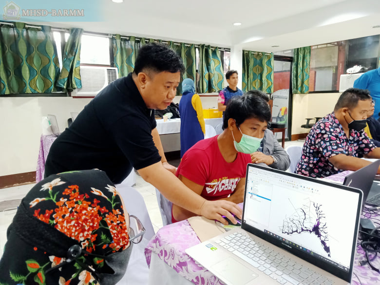
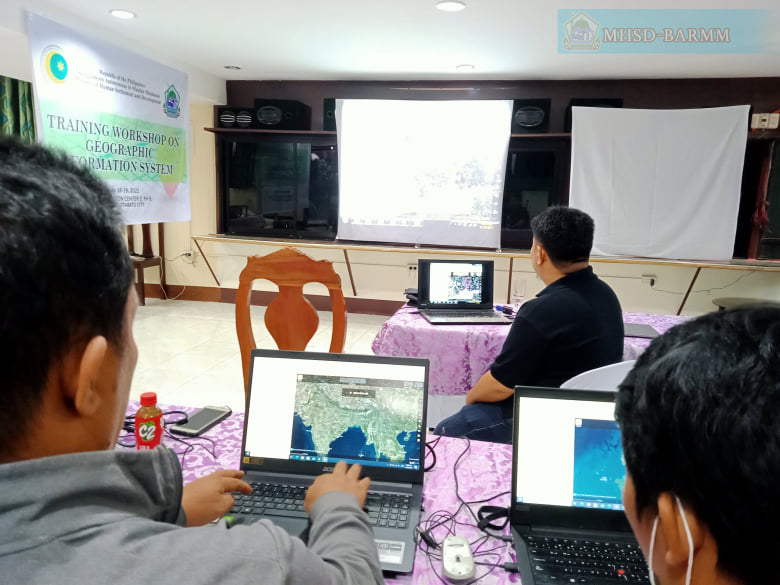
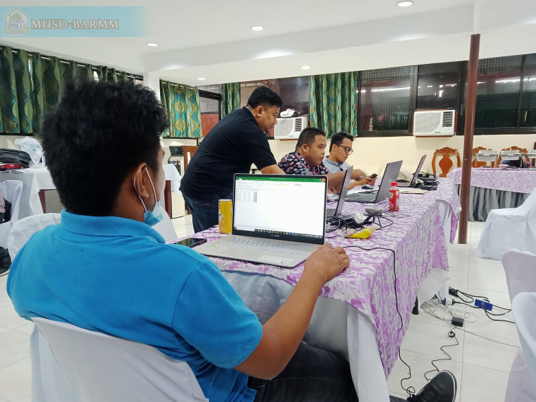
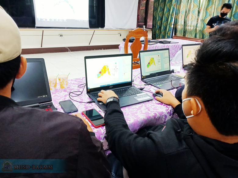
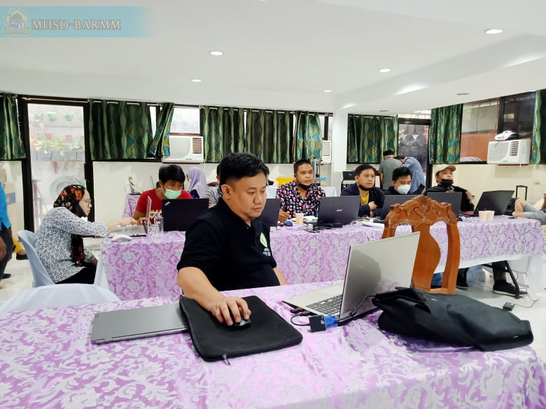
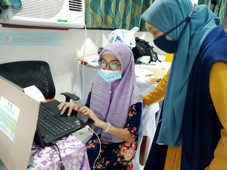
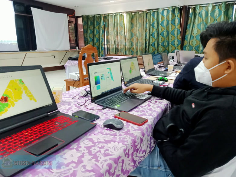
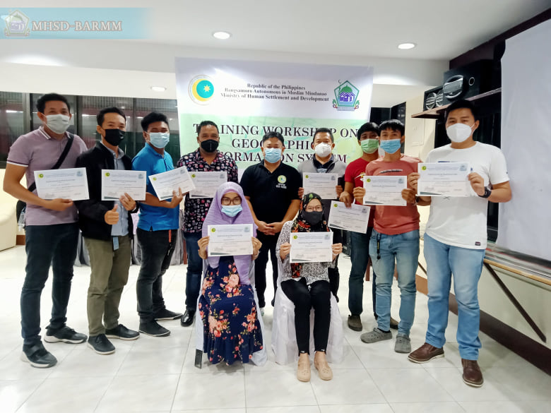
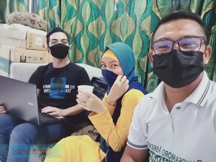
For enhanced preparation and designing of accurate maps, the Ministry of Human Settlements and Development trained its cartographers and other employees on Geographical Information System (GIS) held at the CNX Convention Hall 4, Notre Dame Village, Cotabato City on February 16 to 19, 2021.
A GIS is a system designed to capture, store, manipulate, analyze, manage, and present all types of geographical data that means some significant postions are spatial. In other words, these data that is in some way referenced to locations on the earth.
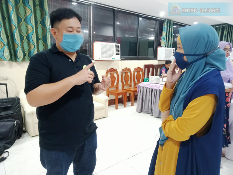
The four-day training seminar covered topics from the introduction of GIS to map layout. Spatial Trainer Engr. Al-Wahab Harun facilitated the training and served as resource speaker. He is an active contributor and data user of OpenStreetMap, a collaborative project to create free editable maps of the world.
“This collaboration with the MHSD is valuable for further development of GIS and OpenStreetMap, as housing is an integral part of mapping”, Engr. Harun said.
“I’ve been through seminars on GIS as both trainer and trainee, and this week showed me a different approach on how to train others on GIS”, MHSD Cartographer Tristan Lito Orinday, mapper from the defunct Housing and Land Use Regulatory Board (HLURB), shared.
After the program, the OpenStreetMap Philippines conducted an interview with MHSD Cartographer John Anthony Ocumen after which, articles will be released in their social media sites.






 Users Today : 286
 This Month : 7034
 Total Users : 194321
 Views Today : 1333
 Total views : 872648
 Who's Online : 4