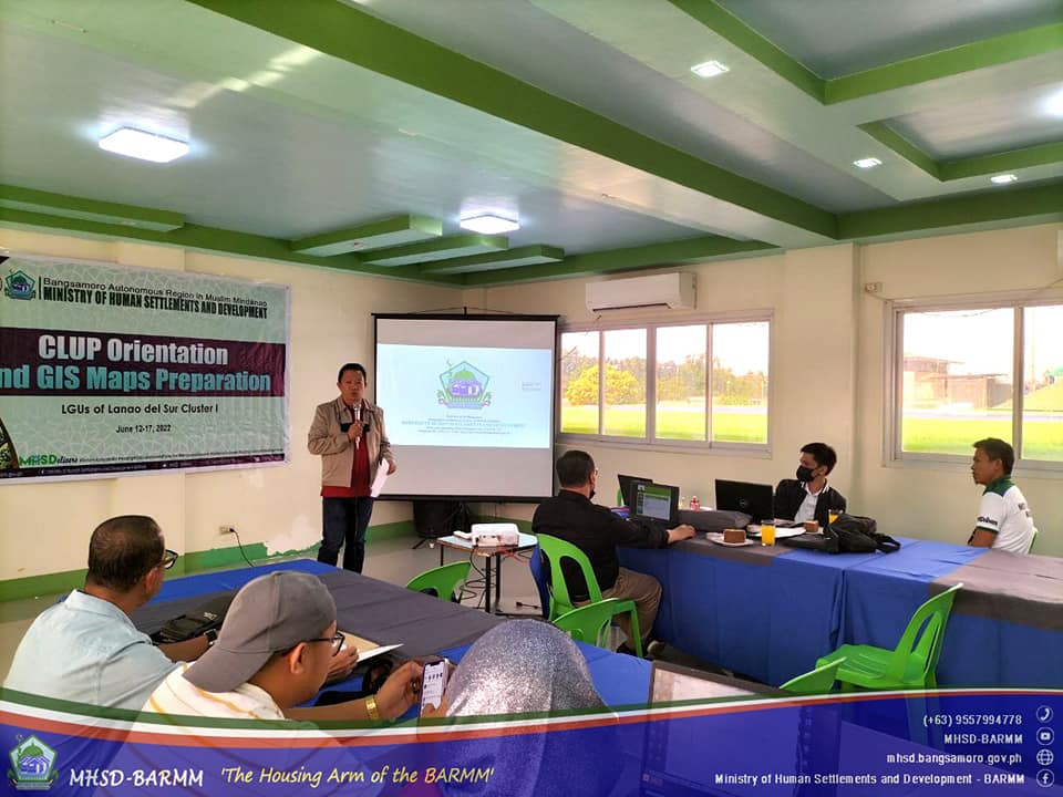
The technical team from the Environment and Land Use Division (ELUD) of the Ministry of Human Settlements and Development presented Geographical Information System (GIS) maps during the Comprehensive Land Use Plan (CLUP) Orientation for Local Government Units (LGUs) of Lanao del Sur Province on June 13-16, 2022, held at the Ragayan Training Center, MARADECA Inc., Marantao, Lanao del Sur.
With key resource speaker Arturo Racaza, GIS Consultant, housing and homesite regulation officers (HHROs) from the Regional and Provincial Offices formed the MHSD team. They introduced the participants to the formulation and updating of CLUP and Zoning Orders (ZO) during the activity, followed by hands-on training on the use of GIS to create and update maps required as attachments.
Racaza highlighted the basic processes of mainstreaming Climate and Disaster Risk Assessment (CDRA) in the CLUP formulation, which will equip and introduce participants on the use of QGIS, a free and open-source cross-platform desktop GIS application.
He emphasized that the orientation was to gain familiarity with the basics of the QGIS, and suggested the LGU to designate a mapper committed to acquiring mapping skills.
The program officially started with thw opening remarks from Dr. Minalang Barapantao Sr., Executive Assistant V, where he shared the ministry’s relentless pursuit in advancing technical assistance to LGUs within its coverage in order to ensure CLUP approval and execution among all LGUs across the Bangsamoro Region.